 Metadata Vlaanderen
Topografische kaart 1/50.000, raster
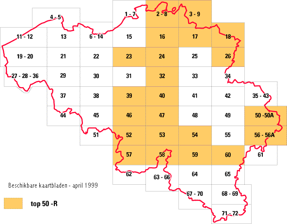
De rasterversie van de topografische kaart op 1:50.000 wordt bekomen door het omzetten van de Topografische vectordatabank 1:50.000 (top50-v) in een kleurenrasterbestand. Deze gegvevens zijn niet verbonden aan een databank en dus niet "ondervraagbaar”. Het bestand is opgebouwd uit pixels en is bruikbaar als achtergrond. De resolutie bedraagt 380 dpi (15 dots/mm). Het volledige bestand is leverbaar in 1 laag of in 5 lagen (basis + hoogtelijnen + 3 bestanden toponymie). De aanbevolen werkschaal is 1:50.000. Dit bestand is nog niet voor het volledige grondgebied van België beschikbaar, een actueel overzicht is terug te vinden op de NGI-website ( http://www.ngi.be).
Simple
- Alternate title
-
top 50-r
- Date (Revision date)
- 1999-05-20
- Citation identifier
- 13F22618-D232-487F-AC03-B001740C05FE
- Purpose
-
Wettelijke opdracht NGI.
- Status
- Historical archive
+32 2 629 82 12
https://www.ngi.be
+32 2 629 82 12
https://www.ngi.be
+32 2 629 82 12
https://www.ngi.be
+32 2 629 82 12
https://www.ngi.be
- Keywords
-
-
TOPOKAART
-
HOOGTELIJNEN
-
VECTORDATABANK
-
TOPONYMIE
-
TOP-V
-
NGI-WEBSITE
-
TOPOGRAFISCHE KAART
-
TOPOGRAFIE
-
- Specific usage
-
o.a. het commercialiseren van het rasterbestand.
+32 2 629 82 12
https://www.ngi.be
- Use limitation
-
Contact opnemen met NGI Eigendom en auteursrechten berusten bij het Nationaal Geografisch Instituut (NGI)
- Access constraints
- Copyright
- Use constraints
- License
- Title
-
Topografische databank 1:50.000
- Alternate title
-
top50-v
- Date (Revision date)
- 1999-05-19
- Citation identifier
- C9FAAB97-5F06-4912-8389-7CBBBF7C783F
- Aggregate Datasetindentifier
- 4003EDCF-6FD5-44A6-A699-C5756628E043
- Association Type
- Cross reference
- Spatial representation type
- Grid
- Denominator
- 50000
- Language
- Nederlands; Vlaams
- Language
- Français
- Character set
- 8859 Part 1
- Topic category
-
- Imagery base maps earth cover
- Description
-
Huidige begrenzing
))
- Geographic identifier
- geen informatie
- Begin date
- 1900-01-01
- End date
- 1900-01-01
- Unique resource identifier
- Belge 1972 / Belgian Lambert 72
- Unique resource identifier
- Ostend height
- Distribution format
-
Name Version TIFF Niet gekend
Distributor
+32 2 629 82 12
https://www.ngi.be
- Fees
-
247.89 euro per kaartblad van 640 km2.
- Ordering instructions
-
Zie eigenaar/verdeler
- Units of distribution
-
Kaartblad 640 km²
- Hierarchy level
- Dataset
- Statement
-
Aanmaak topografische kaart, raster
- Description
-
Het genereren van de kleurenrasterbestanden vanaf de Topografische vectordatabank 1:50.000 (top50-v), met een resolutie van 380 dpi.
+32 2 629 82 12
http://www.ngi.be
- Included with dataset
- Yes
- Feature catalogue citation
Meta-metadata
- File identifier
- CFD4B7F7-FB8B-431A-B194-418535969EAD XML
- Metadata language
- Nederlands; Vlaams
- Character set
- UTF8
- Hierarchy level
- Dataset
- Hierarchy level name
-
Dataset
- Date stamp
- 2024-07-03
- Metadata standard name
-
ISO 19115/2003/Cor.1:2006/INSPIRE-TG2.0
- Metadata standard version
-
GDI-Vlaanderen Best Practices - versie 2.0

)))